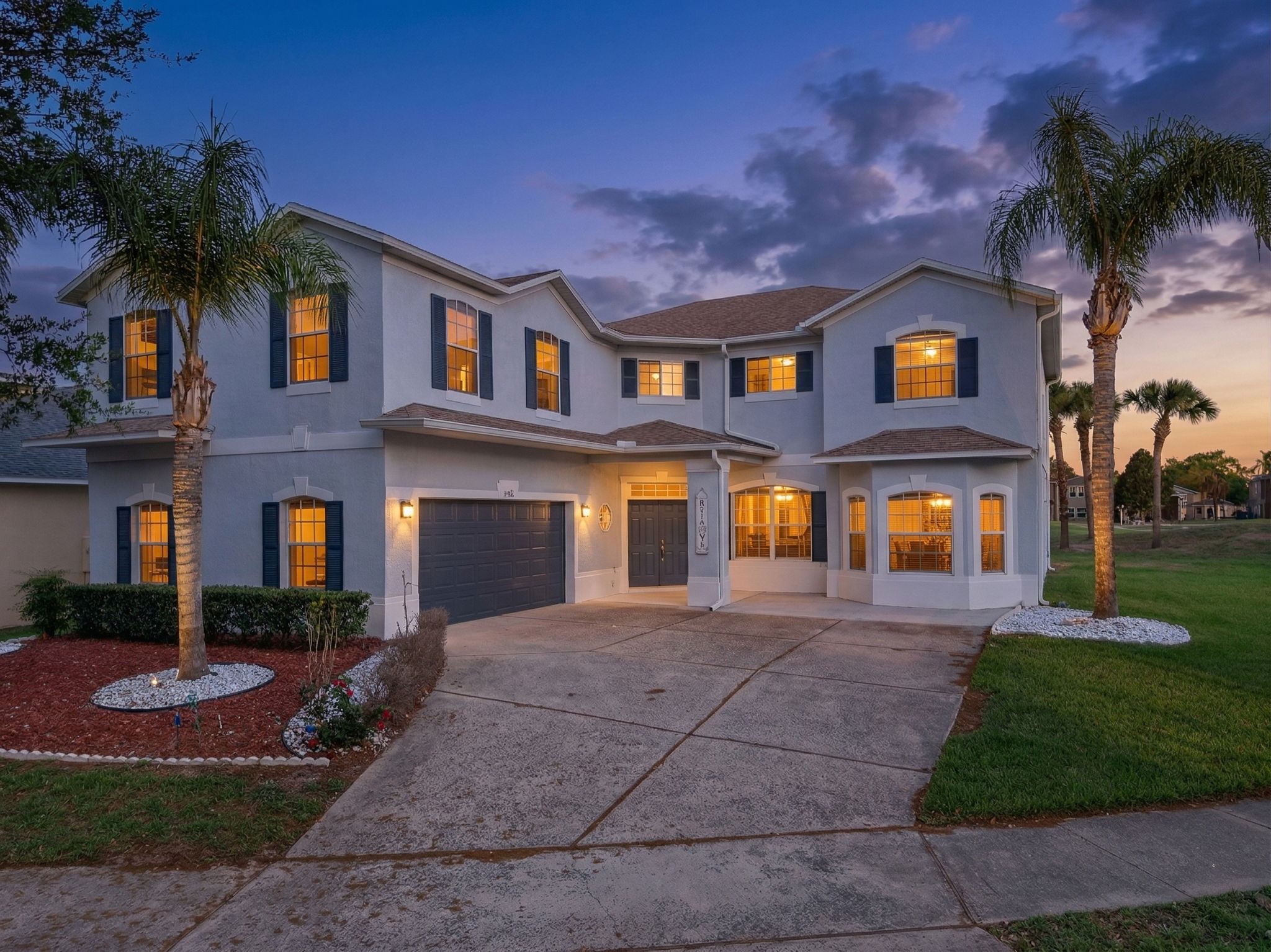
Windermere’s historic core is defined by sand roads, brick streets, live oaks, and resident lake access. Those details separate the Town from the broader 34786 ZIP.
The short answer
Windermere’s historic core is not defined by a polished suburban streetscape. Sand roads, brick sections, live oaks, and lake access are part of the place. For a home inside the Town, photos should preserve that texture and make the setting easy to understand without blending it with the wider 34786 ZIP.
Sand roads and lake access
Windermere sits between Lake Down, Lake Butler, Lake Bessie, and Wauseon Bay. The Town’s Fernwood Park page documents one of its resident-access lake amenities. That kind of local detail is more useful than a generic luxury label because it explains what the historic core actually feels like.
Several sand roads cross Main Street, and the Town keeps them unpaved. Brick, low-speed streets, and mature canopy create a setting that differs from larger estate communities in the same ZIP. The DataUSA profile reports 3,223 residents in the Town proper, so it is important not to treat the much broader 34786 area as one homogeneous neighborhood.
The permanent Disney TFR is another local boundary that affects work near the ZIP’s southern edge. It is a planning issue, not a marketing feature, but it belongs in any realistic aerial discussion.
Preserve the historic texture
For historic-core homes, show the transition from sand or brick street to the property in an early or late exterior frame. Midday canopy can make white walls and paved surfaces look uneven. Lake-facing homes need a separate plan: east-facing docks are often strongest at sunrise, while west-facing rear elevations can work later.
Airspace must be checked before every flight. Parts of southwest Orange County fall under the Orlando Class B shelf, and the Disney restriction limits where a drone can go. A lake-facing flight should never be assumed from a map alone.