We parked on Crystal Beach Avenue at 7:18 on a Sunday and the Pinellas Trail was already moving. A pack of road bikes had just cleared the post-office crossing heading north toward Tarpon Springs. Behind them an older couple walked west toward Live Oak Park with a paper cup and a leashed retriever. The asphalt was still cool from the overnight Gulf air and the trail's brick-edged border stayed quiet for the next minute before the second pack came through.
The short answer
The Fred Marquis Pinellas Trail runs north to south through the west side of Palm Harbor's 34683 along the former Atlantic Coast Line rail bed. The Crystal Beach segment sits next to the Crystal Beach Post Office and runs as the connective spine between the Ozona historic village, Live Oak Park, and the Dunedin and Tarpon Springs ends of the corridor. The trail's 47-mile length gives Palm Harbor residents a continuous bike and walk route from Tarpon Springs to St. Petersburg without driving Alternate US-19.
What we noticed
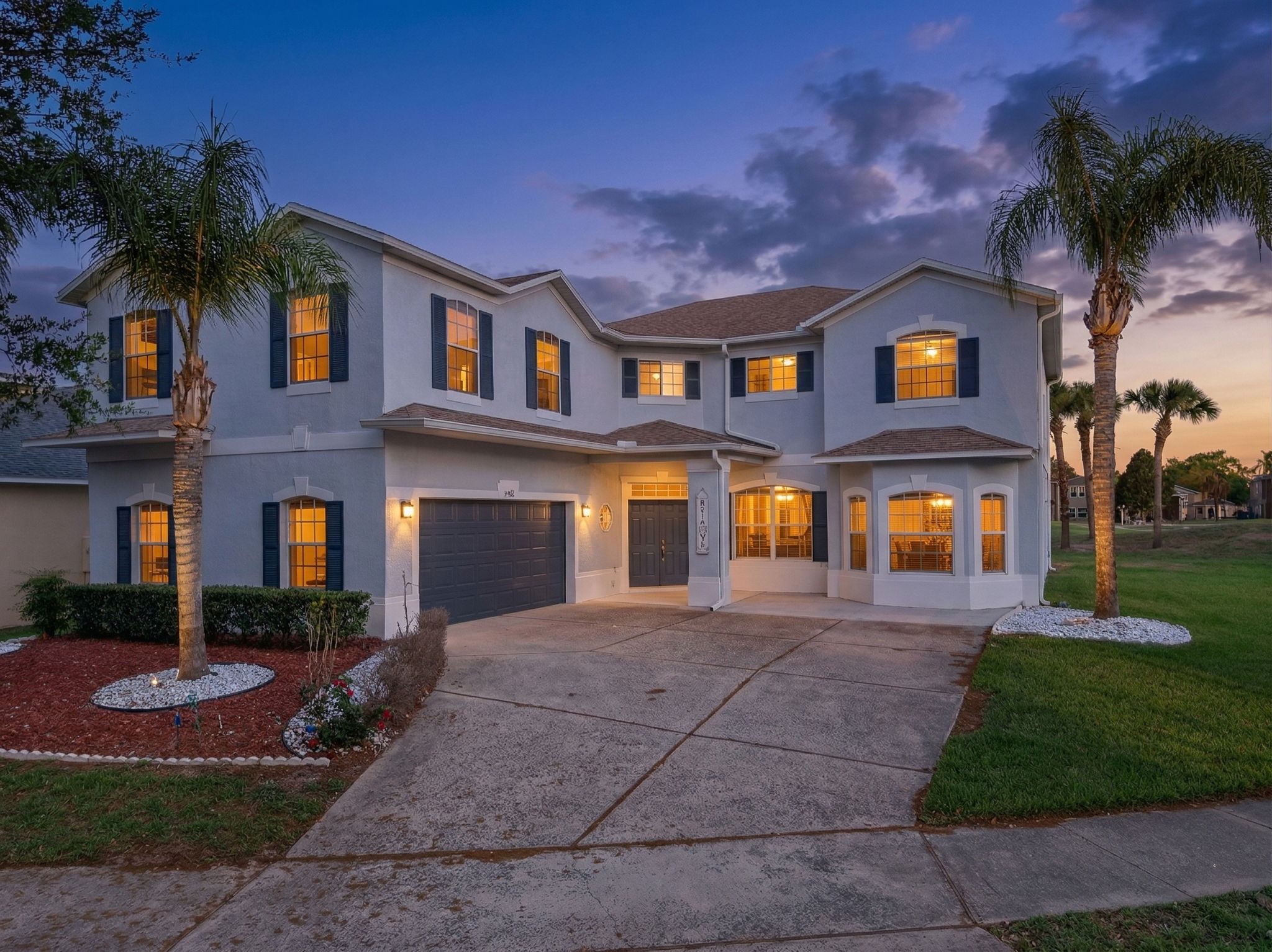
The Crystal Beach crossing is the part of the trail that does the most work for the 34683 listings. The post-office building sits at the trail's east edge and the Crystal Beach community grid runs west from there toward Live Oak Park and the Gulf. A house listed three blocks east of the trail crossing reads as "walk to trail" in the same way a Park Avenue listing in Winter Park reads as "walk to Park Ave." The premium is real and it shows up at the photo level.
The crossing itself is utilitarian, not scenic. A stop sign on the trail, a paint-striped crossing on the asphalt, the post-office mailboxes ten yards south. What makes it work is what the trail connects on either side. Two miles south the trail crosses Curlew Road and lands at the Honeymoon Island State Park causeway approach. Three miles north it bends through the historic village of Ozona, where the trail runs behind The Ozona Pig at 311 Orange Street and the patio at Molly Goodhead's at 400 Orange Street. The same Sunday morning bike traffic that passed our truck at the Crystal Beach crossing was eating brunch in Ozona by 9:30 a.m. The trail keeps the corridor connected without anyone touching Alternate US-19.
The Crystal Beach community itself dates to 1850s Pinellas homesteading and was formally laid out in 1912 as a Canadian-style lakeside resort, with the Gulf Drive seaside parkway and the original Live Oak Park fountain still in place. The platted grid the developers laid down still defines the lots inside the trail crossing's west half. The trail bed itself is older than the residential streets. The Atlantic Coast Line freight that carried the original 1900s citrus shipments ran the same alignment the Sunday cyclists pedal now.
The market read connects to the inventory band right at the trail. The historic Ozona parcel at 171 Orange Street at $1,175,000 sits two blocks from the trail bend. The listing reads as a 0.4-acre development parcel as much as a residence, which is the structural story of Orange Street right now. Buildable land inside the historic village is rare and the lot count is fixed. The price-per-square-foot at this address is meaningfully higher than the same square footage half a mile east, and the trail-and-village walkability is the part doing the work.
Active single-family inventory, ZIP 34683 (Palm Harbor Gulf-side)
The 52-listing count reads thin against a Palm Harbor CDP population of 61,512 per the U.S. Census Bureau, which is the structural reason the trail-adjacent inventory clears fast. The Gulf-side residential ZIP carries the older walkability premium that the trail crossings reinforce. The mid-county and the East Lake corridor are car-first markets, and they price accordingly.
The photographer's read
The Pinellas Trail at the Crystal Beach crossing runs north to south, which means a sunrise long-axis aerial pulls clean either direction. We shoot the trail-adjacent listings as the sun comes off the live oak at roughly 7:00 a.m. in October and 7:35 a.m. in February. The trail bed itself reads dark in the frame from the asphalt and the surrounding canopy, so the listing photograph wants the house on the east side of the frame and the trail running diagonally out of the bottom corner.
Pinellas County prohibits taking off or landing a drone on any county-owned park or beach without a permit, which we secure ahead of every shoot near the Crystal Beach pocket parks. The Tampa Class B floor sits at 1,200 feet above the residential ZIPs and the LAANC approvals for the sub-100-foot residential work come back fast. The St. Pete-Clearwater International (KPIE) Class D ring is eight miles south of the crossing and does not bind the typical residential aerial.
We packed the gear at 8:10 as the third pack of bikes cleared the crossing heading south. A woman in running gear stopped at the post-office mailbox with a stack of envelopes, then re-joined the trail and turned north. The full read lives at /neighborhoods/palm-harbor.