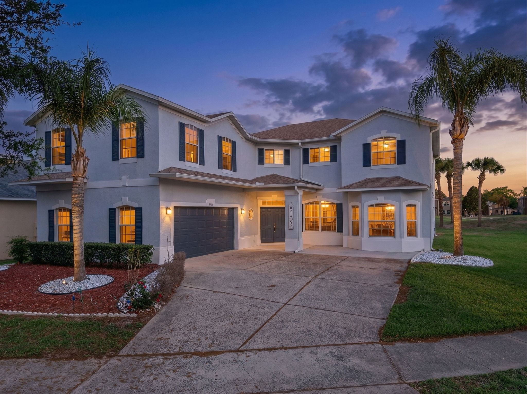
Along Van Dyke Road, some Lutz homes sit behind gates and heavy pine or live-oak canopy. A front view alone may not explain the approach, visible land, or relationship between the house and its drive.
The short answer
Some Lutz homes sit far behind a gate and canopy, so the front elevation alone cannot explain the property. A careful aerial can show the home, the drive, and the surrounding land in one frame. It should document the parcel’s real setting, not imply more privacy, acreage, or access than the property actually has.
The long drive explains the parcel
The wooded acreage along Van Dyke Road feels different from the planned homes in Cheval and Lake Park. A gated approach, workshop, or large tree cover can be a real feature, but it needs a clear, address-specific photograph. The nearby Cheval community is a useful reference for the western Lutz market, not a substitute for showing a rural parcel.
The area spans more than one ZIP and county line, so broad statements about a “Lutz buyer” often hide more than they explain. A listing should focus on the home, parcel, and access that can be verified.
2024 median household income, ZIP 33558 (western Lutz / Cheval)
The income figure is ZIP-level context only. It should not be used to assign a profile to the owner or buyer of a specific property.
Show the approach and visible land
For a long, wooded drive, the most useful aerial is a perimeter pull-back that includes the home, entrance, and visible land. Dense canopy can hide the property below 100 feet, so a legal higher pass may be necessary to make the layout understandable.
The Tampa International Class B veil affects 33548 and much of 33558, making LAANC essential. We confirm the approved altitude before flying.
We also keep the boundary of the visible parcel clear. Aerial trees can make adjoining acreage blend together, so the frame must never imply land beyond the listing. The aim is not to make a secluded home mysterious. It is to show how a visitor actually arrives and what the house sits within.